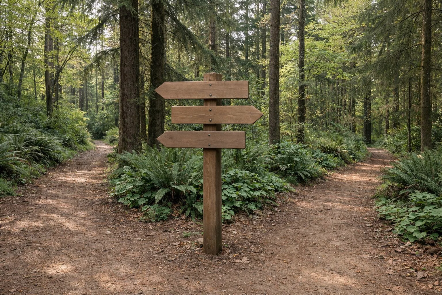
Hoyt Arboretum Trail Map
Hoyt Arboretum has 12 miles of trails, and both Portland Parks & Recreation and Hoyt Arboretum Friends publish a free trail map. The city's map names more than a dozen trails, most of them after the trees planted along them: Redwood, Spruce, Fir, Oak, Maple, Magnolia, Holly and more. The Friends' map marks three loops of 0.5, 0.9 and 1.25 miles. Paper copies are free at the Visitor Center.
The Trail Map at a Glance
Where to Get the Map
- Portland Parks & Recreation posts the Hoyt Arboretum Trail Map as a PDF on the arboretum's page at portland.gov.
- Hoyt Arboretum Friends offers a downloadable digital map on its website.
- Paper maps, in English and Spanish, are free at the Visitor Center, in the courtyard and inside.
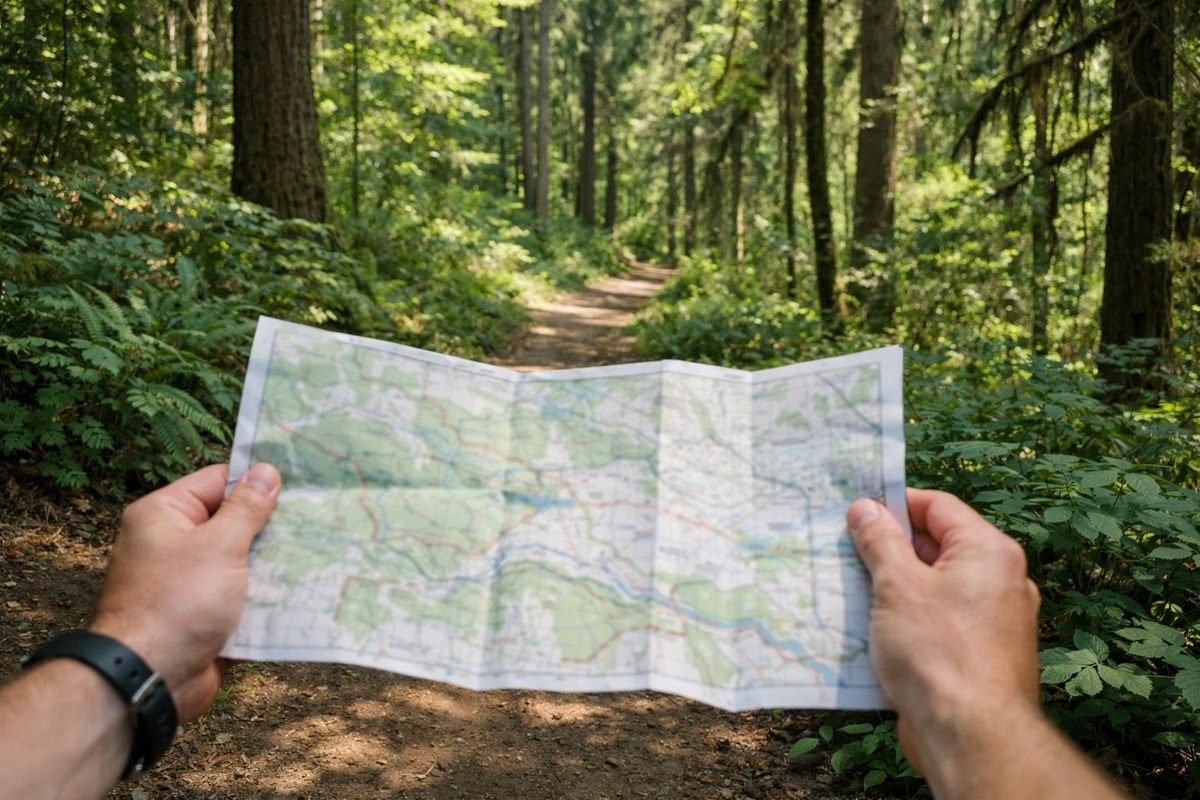
Download a map before you go. Trails cross park roads many times, and the trail names on posts make far more sense with the map in hand.
The Named Trails
The city map shows these trails, each with its own colour:
- Wildwood Trail, the long one, which runs through the whole arboretum and on into Forest Park. See Wildwood Trail.
- Redwood Trail, down to the redwood and giant sequoia grove and the Redwood Deck. See Redwood Trail and Deck.
- Bristlecone Pine Trail, the paved trail on the west side, closed for rebuilding from October 27, 2026. See Bristlecone Pine Trail.
- Overlook Trail, paved, above the Visitor Center.
- White Pine, Creek, Spruce and Fir trails on the west side, and Oak, Beech and Magnolia trails east of SW Fairview Blvd.
- Holly Loop, Hawthorn, Maple, Walnut and Marquam trails on the south side, toward the Vietnam Veterans Memorial.
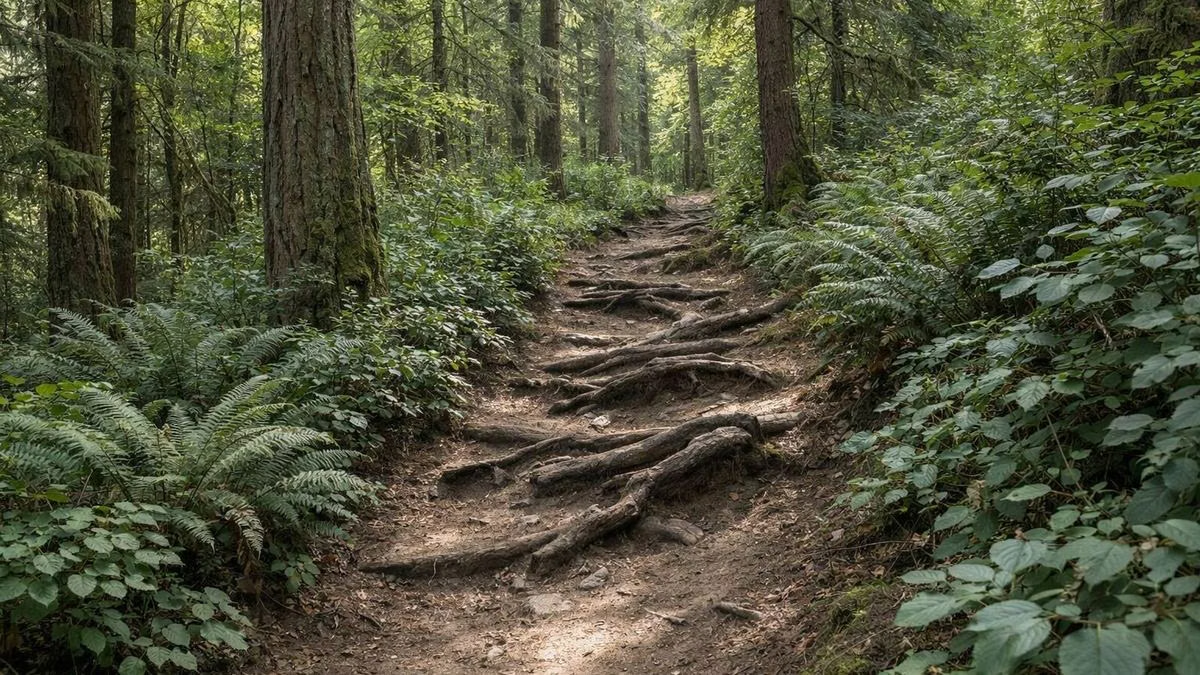
Trails are a mix of paved, packed dirt and gravel. Some include stairs, steep pitches and exposed roots.
The Three Marked Loops
Hoyt Arboretum Friends marks three loops on its map with symbols:
- 30-minute loop, 0.5 mile (triangles). The Fir Trail from Stevens Pavilion, across from the Visitor Center. Fairly level.
- 1-hour loop, 0.9 mile (squares). Spruce, Wildwood and Redwood trails, past the Wedding Meadow and the Redwood Deck.
- 2-hour loop, 1.25 miles (circles). Overlook, Wildwood, Hawthorn, Maple, Wildwood and Holly trails through the south side, with a side trip to the Vietnam Veterans Memorial.
Details of each are on hiking and suggested loops.
How the Map Is Laid Out
The trees are grouped by family, so the map reads like a catalogue: oaks in one area, redwoods in another. Since the 1930s, SW Fairview Blvd has roughly divided the conifers on the west side from the broadleaf trees on the east, according to Portland Parks & Recreation. The Bristlecone Pine Trail is the exception: its trees are arranged by region of the world.
Landmarks on the city map: the Visitor Center, Stevens Pavilion, the Wedding Meadow, the Redwood Deck, the Winter Garden, two viewpoints, an accessible picnic area, the archery range and the Vietnam Veterans Memorial. Arrows point to Pittock Mansion and Forest Park to the north, the Japanese Garden and Rose Garden to the east, and the Oregon Zoo and MAX station to the south.
Paved Trails
Three trails are fully paved: the Overlook Trail (½ mile one way), the Visitor Center Loop (1/10 mile) and the Bristlecone Pine Trail (½ mile one way, closed for rebuilding from October 27, 2026). See paved and accessible trails.
Trail Rules
- Bikes, scooters and skateboards stay on the roads.
- Dogs must be leashed. See dogs.
- No tree climbing, hammocks or slacklines; no foraging; no fires, camping or drones.
Full list: rules and regulations.
Hoyt Arboretum Trail Map FAQ
How many miles of trails are at Hoyt Arboretum?
12 miles, according to Portland Parks & Recreation, on a mix of paved, packed-dirt and gravel trails.
Where can I get a Hoyt Arboretum trail map?
Free paper maps in English and Spanish are at the Visitor Center. Portland Parks & Recreation posts a PDF map on its Hoyt Arboretum page, and Hoyt Arboretum Friends offers a digital map.
What is the best short loop at Hoyt Arboretum?
The 0.9-mile 1-hour loop on the Spruce, Wildwood and Redwood trails takes in the Wedding Meadow and the Redwood Deck. The 0.5-mile Fir Trail loop is the easiest.
Are bikes allowed on Hoyt Arboretum trails?
No. Bikes, scooters and skateboards must stay on the roads.