The Witch's Castle (Stone House)
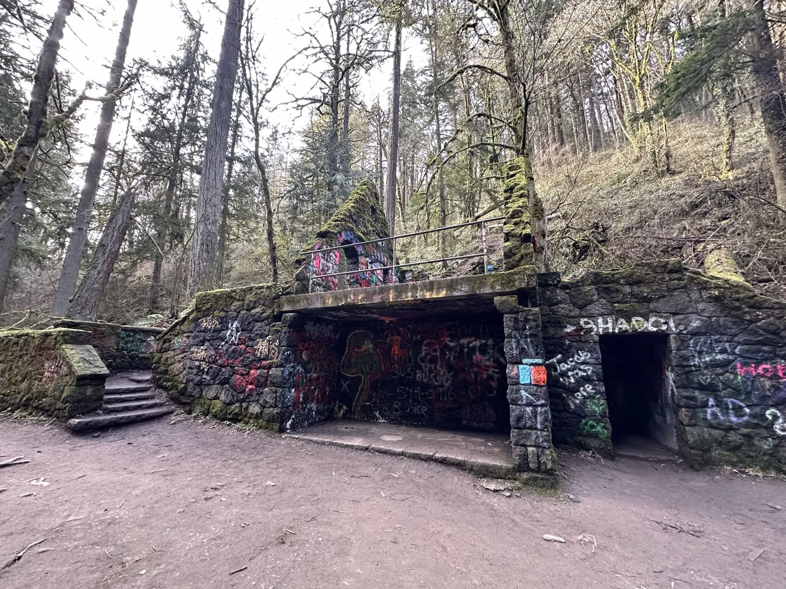
The Witch's Castle is the local name for the Stone House, a stone ruin in Forest Park's Balch Creek Canyon where the Wildwood Trail meets the Lower Macleay Trail. The shortest way there is 0.8 mile up the Lower Macleay Trail from Lower Macleay Park at 2960 NW Upshur St. It is free and open with Forest Park, 5 a.m. to 10 p.m.
The Witch's Castle at a Glance
The Shortest Hike
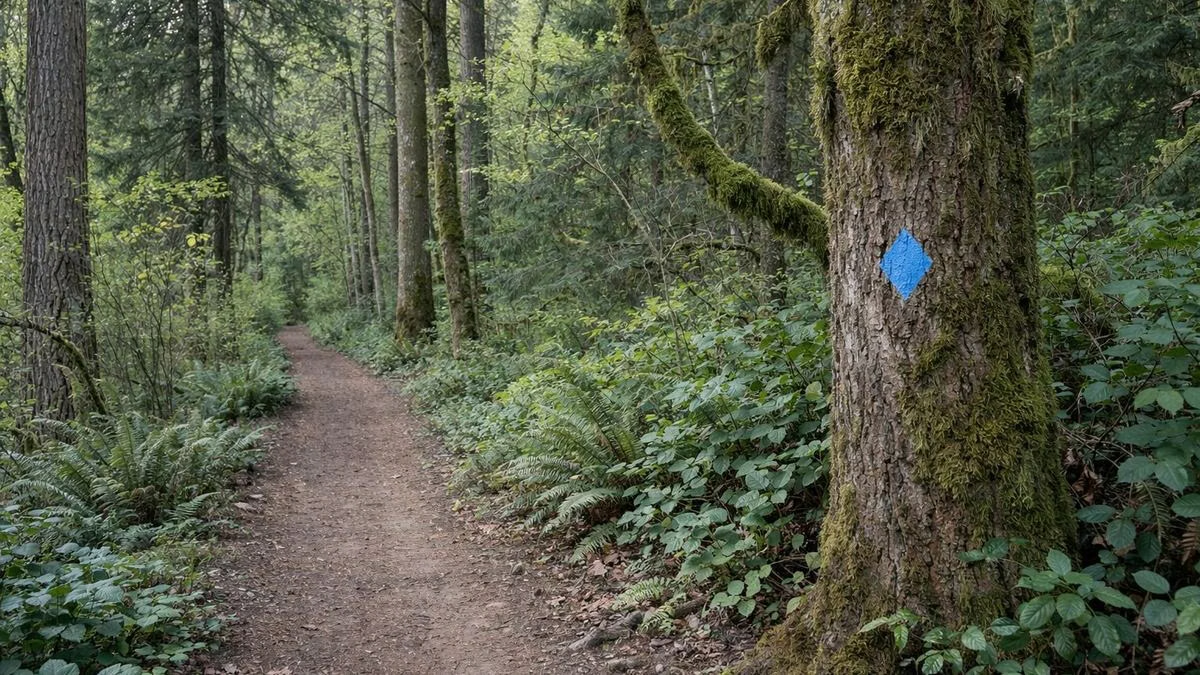
Start at Lower Macleay Park, 2960 NW Upshur St. Follow the Lower Macleay Trail up beside Balch Creek for 0.8 mile to where it meets the Wildwood Trail: the Stone House stands at that junction, according to the Forest Park Conservancy. The Conservancy says you may spot native cutthroat trout in the creek on the way.
Go back the same way for a round trip of about 1.6 miles, or continue on the Wildwood Trail.
From Hoyt Arboretum
The Stone House is on the Wildwood Trail, which starts in Hoyt Arboretum. Walking north from the arboretum, the trail passes Pittock Mansion and then descends into Balch Creek Canyon, where the city lists the Stone House among the trail's popular destinations. It is a much longer walk than the Lower Macleay route; carry a Forest Park map. See Wildwood Trail and Pittock Mansion.
What It Is
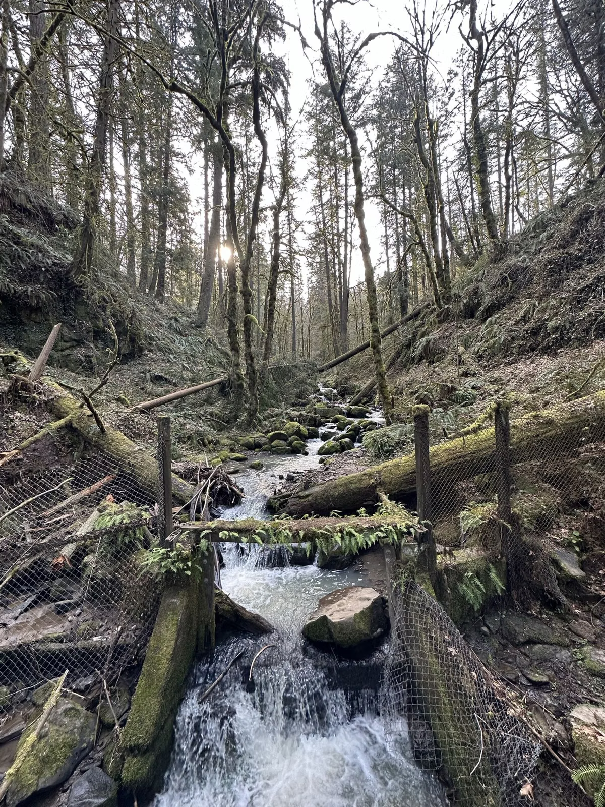
The Forest Park Conservancy's history says the city's parks bureau commissioned architect Ernest F. Tucker in 1929 to design the Macleay Park Shelter. It held men's and women's toilets, a picnic shelter and a tool room, built of basalt with a shingle roof, like a woodsman's cottage. Its toilets were flushed with creek water piped from a tank upstream.
After the Columbus Day Storm of 1962 damaged its water supply, the parks bureau stripped the building down to its stone and concrete shell rather than repair it. The ruin that remains is what Portlanders now call the Witch's Castle.
Balch Creek Canyon
The creek is named for Danford Balch, an early landowner. Donald Macleay deeded the canyon to the city as a park in 1897, and the Olmsted Brothers' 1903 report praised its "deep, romantic wooded ravine", in their words.
Rules
- Forest Park is open 5 a.m. to 10 p.m.
- Dogs on leash only.
- No fires, camping, drones or fireworks; stay on the trail.
Good For
- A short family hike to a landmark.
- Photos of a ruin in the forest.
Maybe Skip If
- You want a quiet spot. It is one of Forest Park's best-known destinations.
The Witch's Castle (Stone House) FAQ
Where is the Witch's Castle in Portland?
In Forest Park's Balch Creek Canyon, at the junction of the Wildwood Trail and the Lower Macleay Trail. The nearest trailhead is Lower Macleay Park, 2960 NW Upshur St.
How long is the hike to the Witch's Castle?
0.8 mile one way from Lower Macleay Park on the Lower Macleay Trail, about 1.6 miles round trip.
What is the Witch's Castle?
The Stone House, a 1929 park shelter with restrooms designed by Ernest F. Tucker. After the 1962 Columbus Day Storm the city stripped it to its stone shell.
Can you hike to the Witch's Castle from Hoyt Arboretum?
Yes, on the Wildwood Trail north past Pittock Mansion into Balch Creek Canyon, but it is a much longer walk than the 0.8-mile Lower Macleay route.